
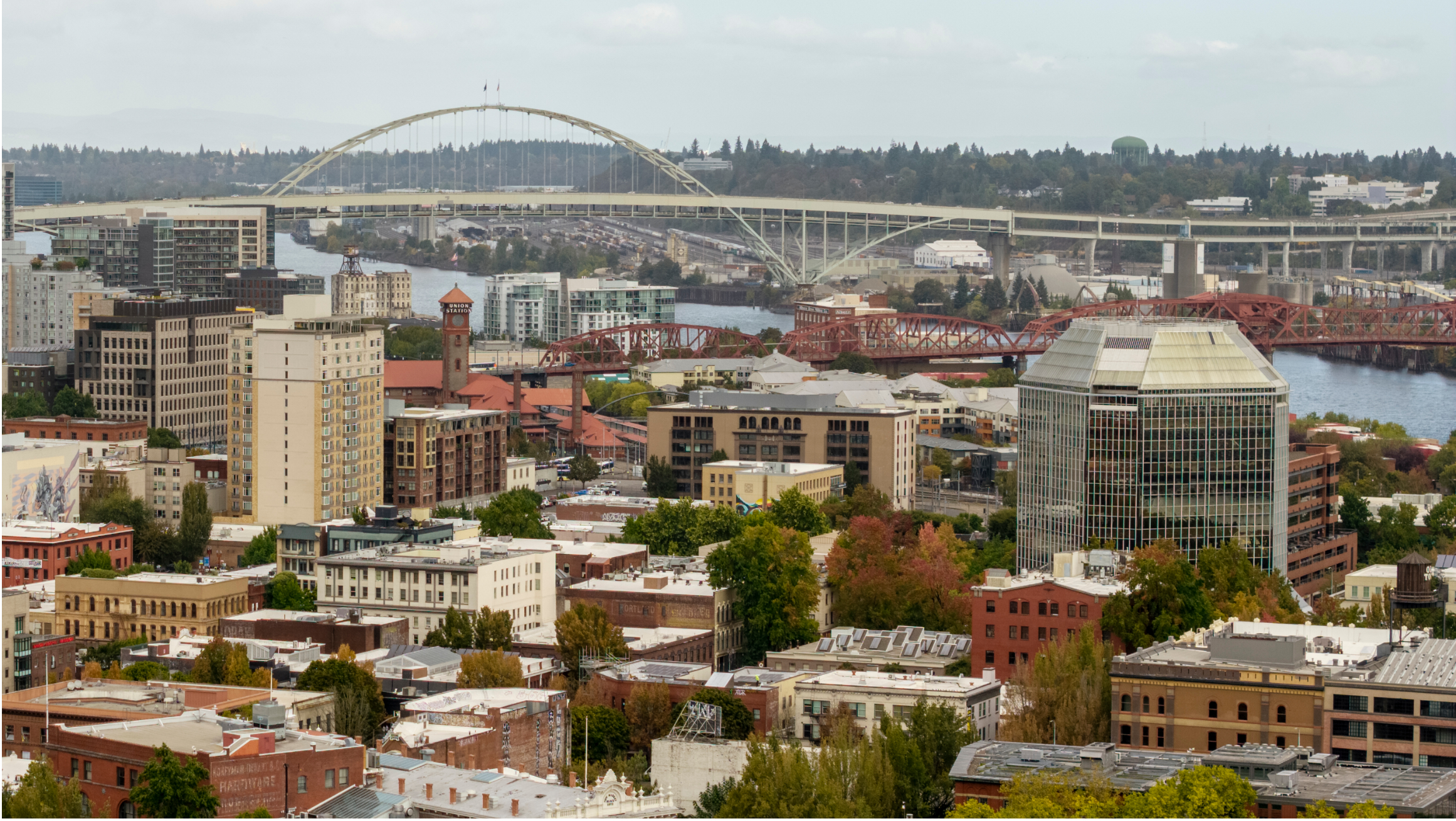
Over the past half century, the Minneapolis–St. Paul and Portland, Oregon, metropolitan areas have grown relatively quickly, each adding millions of residents. The two regions share some key characteristics: similar household incomes, poverty rates, and racial and ethnic composition. Today, about one-third of residents in both regions are people of color.
But the two regions took very different approaches to accommodating their growth. In the Portland region, state, metropolitan, and local stakeholders directed much of this growth toward already developed, or infill, neighborhoods. In the Twin Cities, growth has largely spread outward.
We analyze how these growth patterns have affected people’s lives (PDF) In the Twin Cities, residents drive more and travel longer distances, increasing pollution and transportation costs. Sprawl has been associated with increased social and racial segregation, whereas the Portland area remains more integrated. As communities across the country tackle growth, policymakers can draw lessons from Oregon’s successes to produce regions where residents have greater access to opportunities.
Portland grew faster than the Twin Cities using less land
Between 1970 and 2020, the Minneapolis–St. Paul urban area population grew by about 80 percent (somewhat faster than the nation as a whole), while Portland’s increased by about 130 percent.
But the two regions grew in dramatically different ways. The Twin Cities’ urban land area grew nearly twice as fast as its population, while the Portland region’s footprint expanded slower than its population. As a result, Portland became more densely populated as it grew.
The differences in the region’s growth patterns reflected decades of interconnected policy choices. Though both regions have regional planning bodies that have some legal powers to regulate localities—a rarity in the United States—they took contrasting approaches to managing growth. The Minnesota Metropolitan Council has the authority to shape development but has been reluctant to use it, which has enabled suburban municipalities to sprawl out with few affordable housing units available. By contrast, Oregon Metro has enforced an urban growth boundary since 1977, encouraging concentrated development in existing communities while preserving surrounding farm and natural land.
The regions also invested differently in transportation. Portland began opening light rail lines in the 1980s, while the Twin Cities didn’t open a line until 2004. Today, the Portland region’s light rail network is more than three times longer, despite serving a much smaller population. And the Portland region’s annual investment in transit was substantially higher per capita than in the Twin Cities, while the Twin Cities continued expanding its highway network.
These investments encouraged more densely built neighborhoods in Portland and more sprawling, car-dependent growth in the Twin Cities.
How land-use choices affect mobility patterns
Differences in development patterns and associated transportation investments have shaped how people get around and how much they spend on transportation.
In the 1970s, commuters in the Portland region and in Multnomah County were less likely to walk or take transit to work than their counterparts in the Twin Cities and Hennepin County. Since then, these conditions have reversed. Today, walking, biking, and taking transit are roughly twice as common in the Portland region as in the Twin Cities. The typical Portland region resident also takes about 75 percent more transit trips than the typical Twin Cities resident.
Portland region residents are simply far less dependent on driving. Between 2000 and 2022, daily driving per capita declined by 16 percent in the Portland urban area, while it increased by 5 percent in the Twin Cities. Assuming people drive similar amounts every day, Portland region residents now drive 2,000 miles less, or 23 percent, annually than their Twin Cities counterparts.
All that additional driving means more fuel costs, higher exposure to vehicular fatalities, and more pollution.
How land-use choices affect racial segregation and schools
The Twin Cities’ sprawling development has been associated with greater racial and ethnic segregation than in the Portland area.
Though about a third of residents in both metropolitan areas are of color, segregation is much more pronounced in the Minnesota region. In Portland, only about 1 percent of neighborhoods (defined as urbanized census tracts) have populations that are more than 60 percent residents of color, compared with 12 percent in the Twin Cities. These neighborhoods are often located in the central cities and are disproportionately likely to face distress because of high poverty rates (PDF). As a result, 249,000 Twin Cities residents live in such distressed neighborhoods, compared with just 4,400 in the Portland region.
The pattern is similar in predominantly white neighborhoods. Only 12 percent of Portland region neighborhoods have populations that are more than 80 percent white, compared with 32 percent in the Twin Cities. Portland’s focus on infill development rather than outward expansion has likely helped produce more integrated communities by encouraging people of different incomes to live closer to one another.
These differences are also reflected in schools. In the 2021–22 school year, only 1 school in Portland was hypersegregated (had a student body greater than 90 percent students of color), while 189 schools in the Twin Cities region were. Portland’s rate of school segregation has declined over the past decade, likely because people of different incomes live close to one another, and increased in the Twin Cities.
The Portland region’s growth strategy can be a model for others
Not all is perfect in Portland. The region has higher housing costs than the Twin Cities, and typical residents in the Portland area must spend more of their incomes to buy a home than those in Minneapolis, St. Paul, or their suburbs.
Even so, Portland’s growth strategy has produced significant benefits. A much smaller share of renters in the Portland region are cost-burdened than in the Twin Cities (PDF). By limiting outward expansion, prioritizing transit availability over highway construction, and encouraging infill development, the region has reduced car use and combatted segregation. In more detailed research, we find that Portland’s growth strategy also helped the central city retain (PDF) a large share of the regional tax base, enabling relatively lower taxes and better services than the Twin Cities.
As other regions plan for growth, Portland’s successes show how land-use and transportation policies that emphasize infill development and transit investments can have lasting effects on mobility, segregation, the fiscal health of a city, and the quality of people’s lives.
